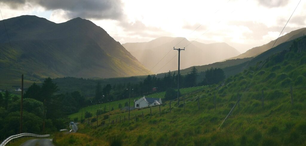
The Sheeffry Pass is a remote mountain road which passes through some wild and wonderful scenery at the Sheeffry Hills in County Mayo, western Ireland.
This part of Ireland is often sadly overlooked, due to being slightly off the main Wild Atlantic Way. Upon my recent return to the Sheeffry Hills in August 2024, I was left with the feeling that the route rivals any scenic drive in Ireland. Oddly, it’s practically unknown and rarely mentioned on any guidebook.
I’m delighted to share the extended route we took through the Pass, via Doolough to Lennaun, through Joyce Country and Lough na Fooey and eventually to Cong. Added to this, we managed to fit in a cracking walk at Tawnyard Lough.
Where exactly is the Sheeffry Pass located?
As mentioned, the Sheeffry Pass is located in south County Mayo. When driving south from Westport to Leenaun on the N59, you’ll take a right at Liscarney and follow the road for approximately 12 km until you come to the pass.
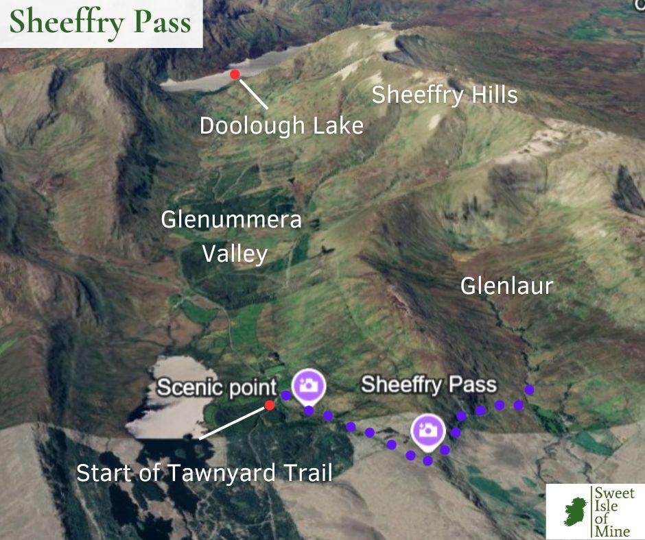
The pass is at an elevation of approximately 200 metres before the road descends again into the wonderful Glenummera Valley, providing views of the Sheeffry Hills and directly in front the rugged peaks of Ben Gorm and Ben Creggan. Location below.
When should you visit?
Choose a clear, dry day to get the most out of your trip. This area is notorious for rain so plan ahead. I have visited on both murky days and sunny days, and while the mist does add that bit of character to the drive, the views deserve a fine, clear day!
One thing to be wary of is that in the winter months, the Sheeffry Pass does sometimes get snow, which makes driving hazardous. The road lies on the northern slopes of the mountains so in winter, any frost or ice may linger for the day.
We recommend visiting from April to October. Here you’ll have ample daylight and better temperatures to make the most of your day trip.
The Sheeffry Pass Extended Route: A Quick Overview & Map
Below you’ll see the route we took on that particular day in August.
We started off from Westport, following the N59 south until we took the turn at Liscarney for the L1842 road.
From here, it’s a very narrow road to the pass. Expect to meet a scattering of cars and in the summer months, it’s likely you’ll come across a few ol’ tractors or the likes! Be vigilant on this road, the 12 km feels more like 20!
Then we made our way nice and slowly along the pass (road still very narrow!) until we made our stop at the viewpoint.
We then parked up at the Tawnyard Trailhead and completed the linear walk.
After this it was back in the car along the stunning Glenummera Valley.
Eventually, we came to Doolough Valley and Leenaun, where we stopped for lunch. Then we looped back over the R336 and the L301, through the wilds of Connemara, Lough na Fooey, Lough Mask and the famous village of Cong.
We then joined up with the N84 at Ballinrobe and back to Westport.
A total driving time of approximately 2.5 hours. We set off at 9 am and arrived back at approximately 9pm. We stopped off at many locations and completed an 8km walk, which added significantly more time to the trip.
However, I would set aside a full day, if you wish to do the walk at Tawnyard (highly recommended) and give yourself time for photos and a lunch stop at Leenaun.
The Route in Detail
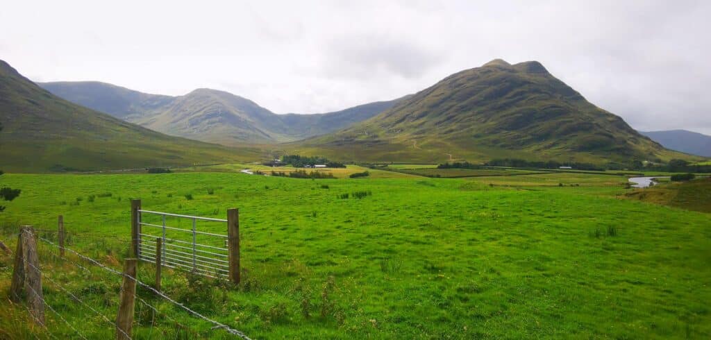
Westport – Sheeffry Pass
Leaving Westport, you’ll get a glimpse of Croagh Patrick to your right, from a slightly unusual perspective, with the path to the summit clearly in sight.
A few miles outside the town there’s an nice little petrol station called Holland’s Daybreak to stock up on drinks and snacks for the trip. Make sure you have enough fuel in the tank as the next chance to refuel is Leenaun, a good 45 km away.
After taking the right turn, you’ll immediately notice that the road has plenty of blind corners, but there are some pull-in spots. After 15 minutes or so, you’ll arrive at the village of Drummin, and from here on, you’ll be treated to beautiful mountain scenery.
Looking to your right, you may spot some waterfalls skirting down from the rock faces and there’s a very good chance you’ll have to slow down to allow for the local sheep to remove themselves from their makeshift beds in the middle of the road!
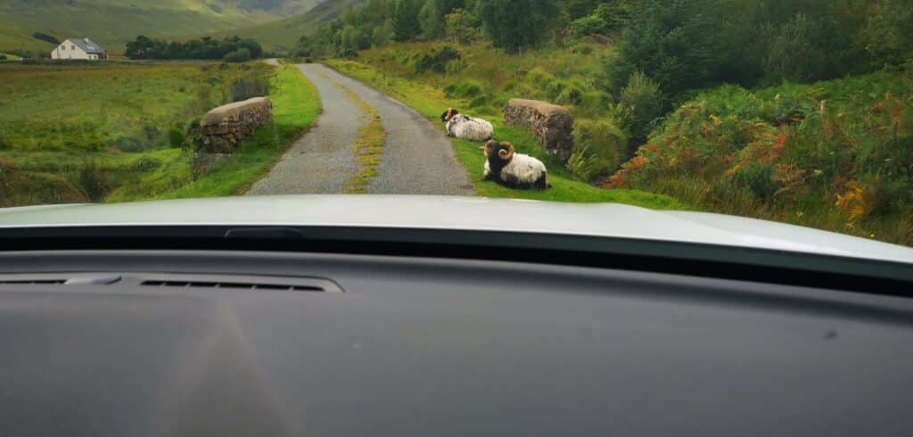
Eventually, you’ll catch your first glimpse of the pass ahead. Just before you hit the big left curve that leads to the pass, look out your right hand side. You’ll spot a magical waterfall in the distance on the steep slopes. This is the source of the Erriff River.
They must be in the region of 400 to 500 metres in height, but don’t seem to be named on any map. A candidate for the highest falls in Ireland?
Continue on along the pass and pull in if you can to take it all in. Take a look back down the valley at the patch of beautifully reclaimed farmland in the valley below.
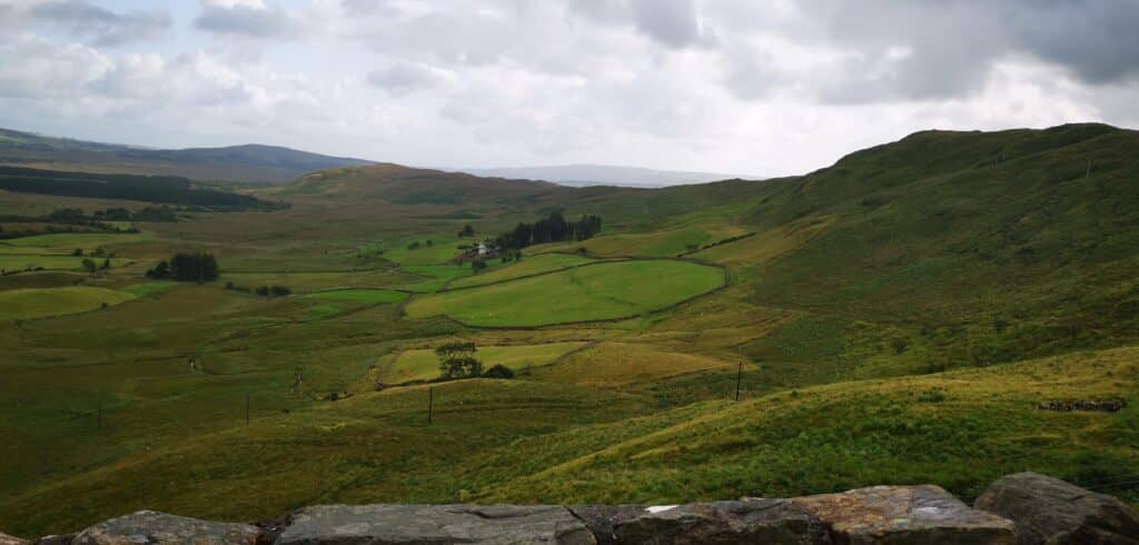
You’ll soon reach the highpoint of the road and soon you’ll be greeted with another panoramic view of the beautiful Tawnyard Lough and the peak of Devilsmother.
After about 500 metres, pull it at the viewpoint, on your left. You’ll see a few parking spaces and picnic benches. Then walk the short path through the trees to a magnificent view of Tawnyard Lake and the mountains beyond. County Mayo at its beautiful, unspoilt best.
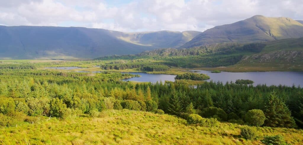
Get your photos in and enjoy the solitude here. There’s a good chance you’ll have the views all to yourself. When you’re good to go again, hop into the car and drive a mere 200 metres downhill and take this sharp left turn.
Barely 50 metres down this forest trail, you can park in on the left and this is where you’ll start your main walk for today.
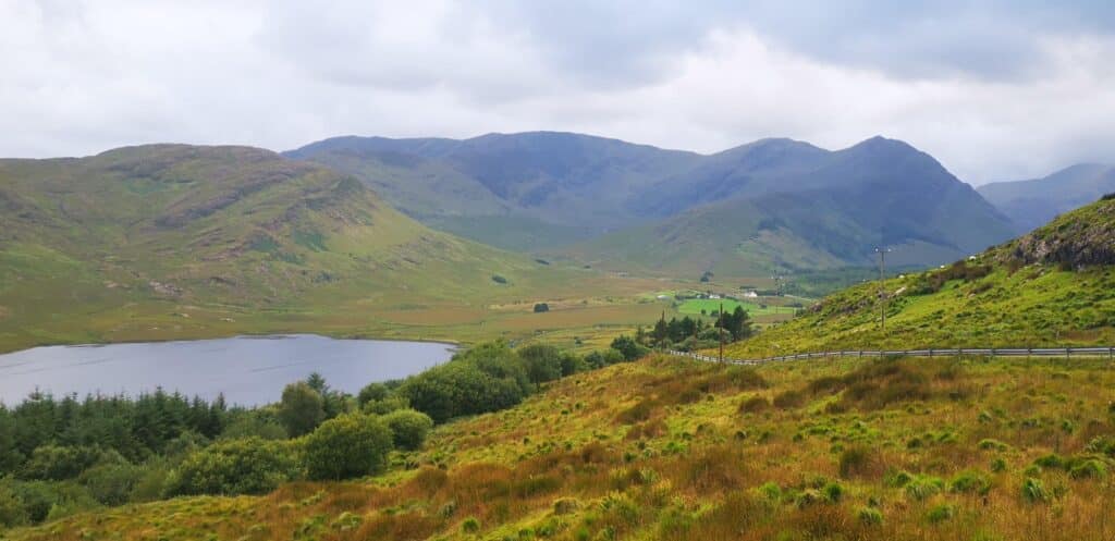
Tawnyard Trail (Sheeffry Hills & Partry Mountain Views)
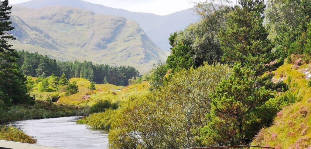
The Tawnyard Forest trail is an out and back route, approximately 8km in length and I would classify it as light/moderate. We started at the exact location mentioned above and continued all along the forest/minor road till we eventually met up with the N59. We then retraced our steps back to the car.
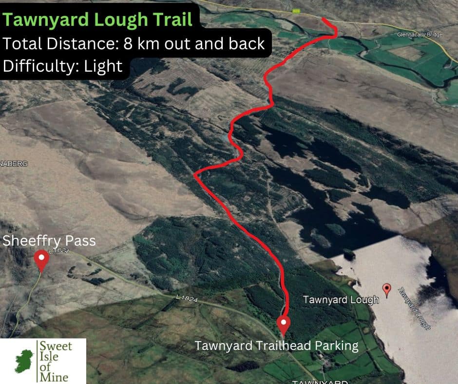
At the trail head, we saw the info board for the trail but unfortunately this was in bad nick and nothing was legible. Another thing worth noting is that you can’t actually see the lake from the trail at all! The dense conifers to the right block out your view.
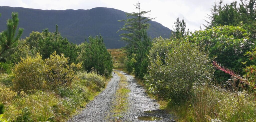
Let this not put you off though. In my view, this is one of the finest walks in the west of Ireland. Being relatively flat most of the way, with only some moderate inclines on the way back, it’s very accessible and also makes it a lovely starter hike for kids.
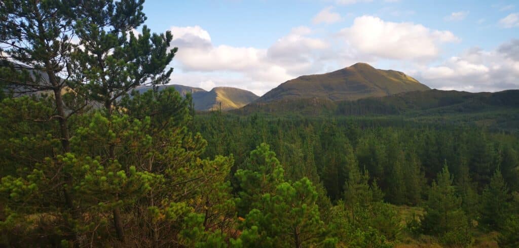
You’ll initially pass through dense forest and every now again come across large areas of exposed slate along the trail. You’ll come across some idyllic streams and a small fishery before leaving the forest behind you.
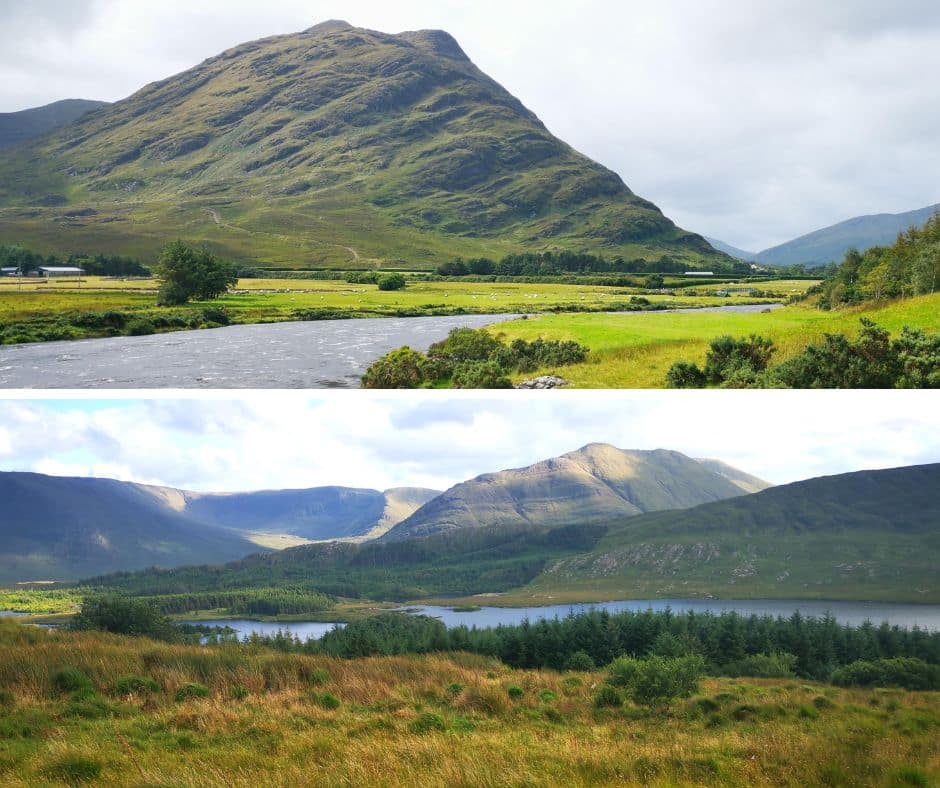
Then the landscapes upon up magnificently, with the Partry Mountains, Sheeffry Hills, Ben Creggan and Devilsmother mountains in full view. The views here are grand everywhere you turn. As you start to approach the main road, keep an eye out for perhaps some of Ireland’s most beautiful fields (below)
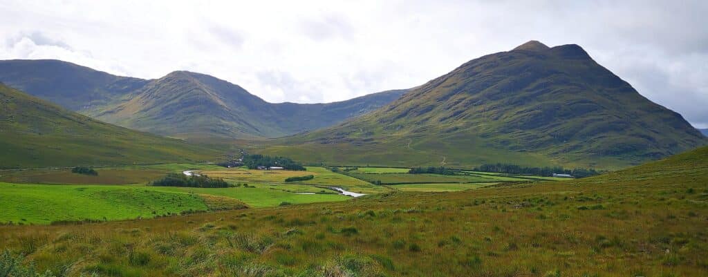
Your eyes will be drawn to the steep slopes of the Partry mountains with endless waterfalls carving their way through bare rock for millennia. Looking west, Devilsmother’s steep terrain looks at intimidating as its name. Where else would you want to be?
The beautiful Erriff River meandering its way through the valley of its namesake offers countless photo opportunities. You could really spend hours here getting some great shots, especially with the ever-changing light.
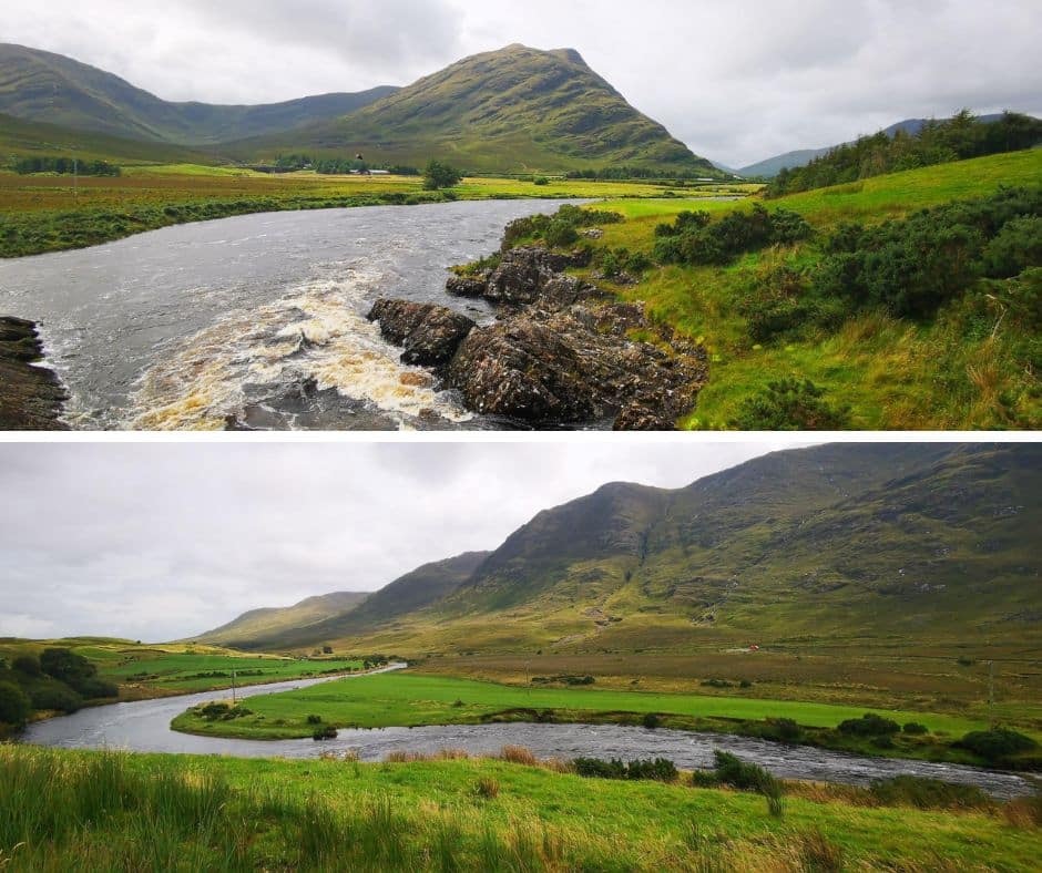
Once you’ve taken it all in, it’s back to the car and off to Leenaun via the Glenummera Valley.
Glenummera Valley – Leenaun
We continue our day of exploration by car and drive west along the L1824 until we join up with the R335 at Doolough.
The L1824 is not part of the Wild Atlantic Way and therefore is often overlooked. Just goes to show, a little off the beaten path can reveal incredible hidden gems. As you pass through, be aware that the road is quite narrow but there are plenty of pull-in spots.
Make the most of these and get out to have a look around. The Sheeffry Hills are to your right with Tievummera (762m), Tievnabinnia (742) and Barrclashcame (772 m) being the highest peaks in the range. To your left are the peaks of Ben Creggan (693m) and Ben Gorm (700m)
Your eyes will be drawn to the many spectacular mountains streams which continue to carve away at the mountains and also the scattering of farmhouses and patches of greenery along the banks of the beautiful Glenummera river.
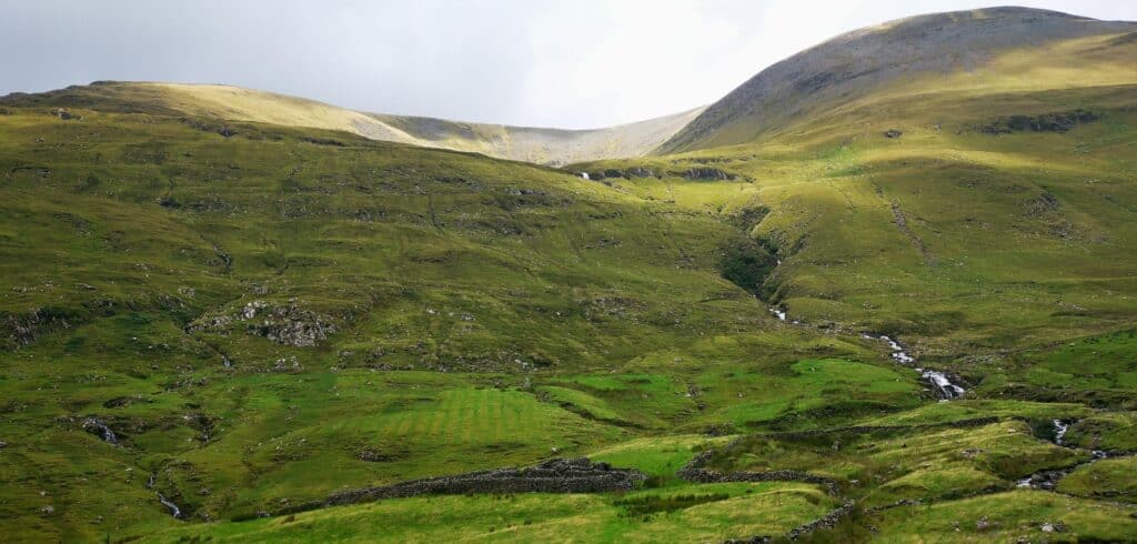
As you make your way along the road, directly in front of you, the highest peak of Mayo and Connacht will come into view, Mweelrea. It is truly magnificent everywhere you look. A place to visit to get away from it all and ‘ground’ yourself.
As you may expect, this whole area possesses some magnificent hiking opportunities, many of which I certainly plan to discover over the next months.
Update: Click here for a hiking guide to the nearby Ben Gorm and Ben Creggan.
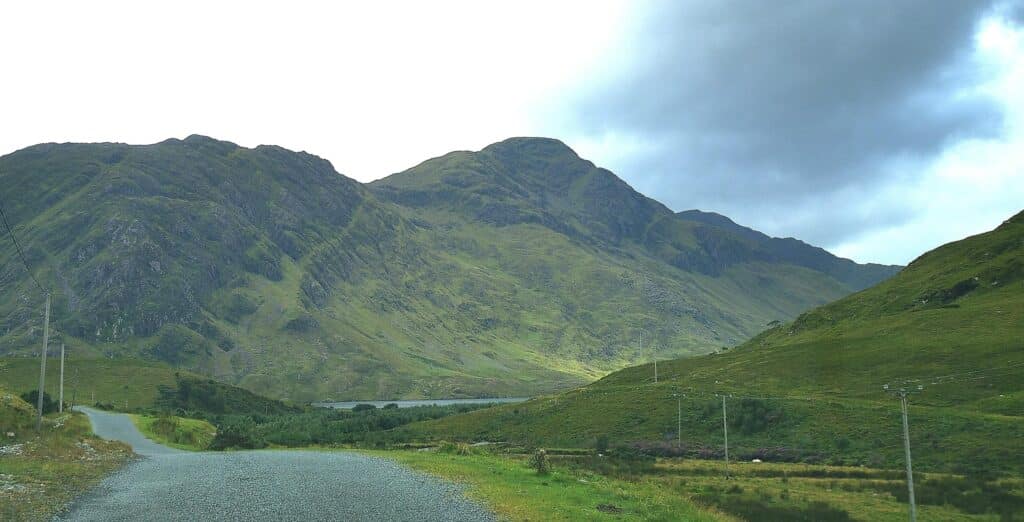
Eventually, you’ll join the R355 at Doolough. Now from here, the usual route is left along the lake in the direction of Leenaun, but as you arrive, you’ll probably feel compelled to explore this area even more. The Dollough Valley Pass is on the Wild Atlantic Way and is widely regarded as Ireland’s most beautiful roads.
Without going into too much detail here, I’d urge you to have a look at an article I published on the valley itself. This will give you all the details you need, should you wish to explore the area more. The article is here.
Taking a left and following signs for Leenaun, you’ll notice the ‘Black Lake’ or Doolough surrounded by magnificent peaks. The route to Leenaun showcases all that’s wonderful about the west of Ireland.
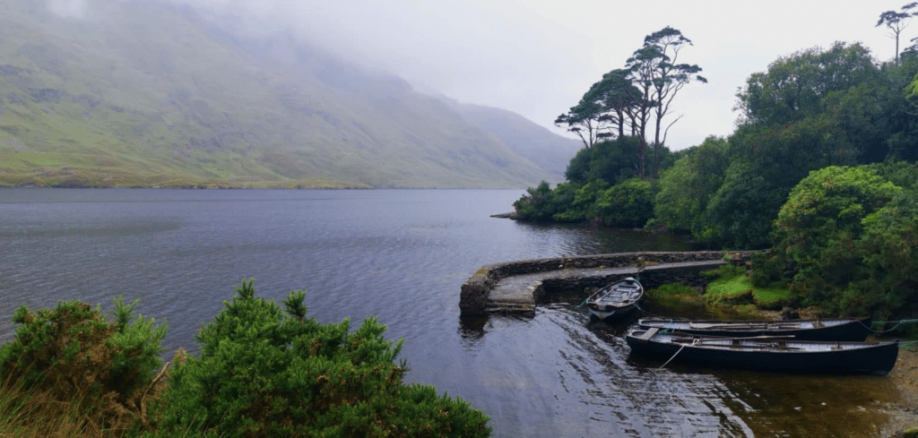
The road passes along a Bundorragha river, a river famed for its fishing, along the Delphi Valley. Eventually the road veers left along Killary Fjord, Ireland’s only true fjord. All around are huge vistas, with the mountains dominating the landscape.
Pull in along the discovery point to take in the magnificent Killary fjord. Jump over to our article here if you wish to find out more information about this location. After a few miles, you’ll reach Aasleagh Falls. There’s plenty of parking and we recommend a quick stop here.
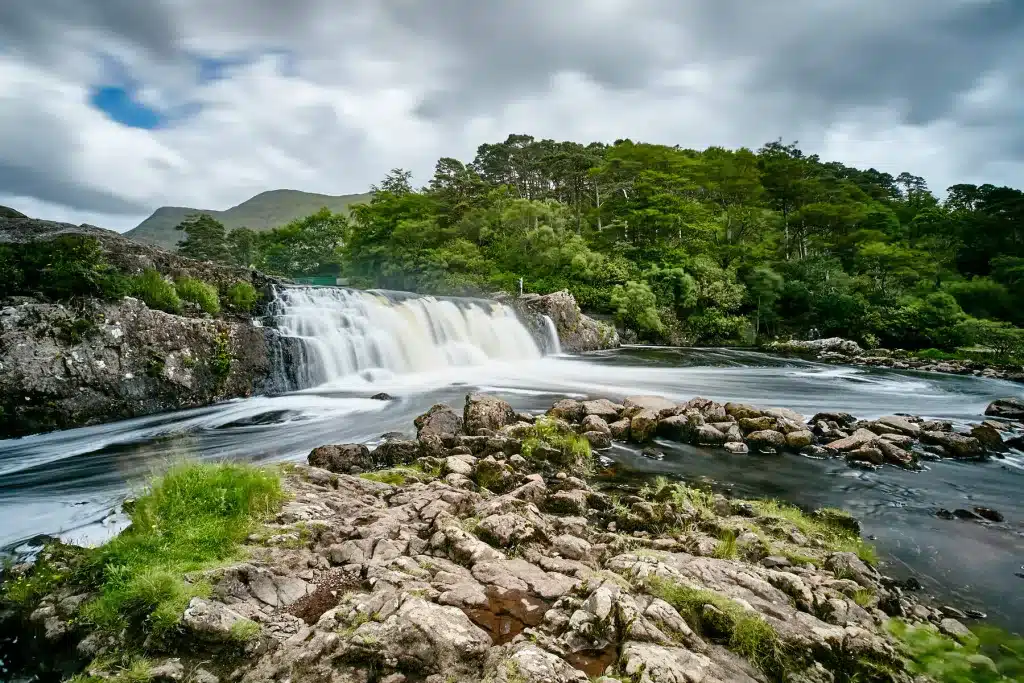
You can walk along the trail to the falls, but beware, the ground is generally very wet and muddy. Although the falls are only about 5 metres in height, they are set in a beautiful location with the Erriff Valley providing an idyllic backdrop.
Insider tip: If visiting in the early summer months, keep an eye out for salmon using all their might to leap over the falls and make their way upstream to spawn.
It’s back in the car again and a drive through some pine woodland. Follow the N59 over the border to County Galway and onto Leenaun village. You’ll now find yourself driving along the southern shores of the fjord.
Leenaun for lunch
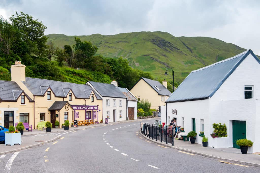
A remote village famed for its scenic location, Leenaun is a popular stop along this part of the Wild Atlantic Way. I recommend visiting the Purple Door café, but it is small and can get busy. We ended up in the café of the Connemara Sheep and Wool centre which served a good selection of warm food, snacks, teas and coffee.
It’s a lovely place to spend an hour or 2 and they offer daily wool craft demonstrations. A pleasant place to pass some time if the weather is on the inclement side. They also have a nice selection of souvenirs, as well as landscape photos and artwork, mainly of the local landscapes.
After a tasty seafood chowder and some excellent accompanying soda bread, it was back in the car and off in the direction of Lough Na Fooey.
Should you be considering spending longer in Leenaun and exploring the stunning Killary Fjord, you’ll find more details here.
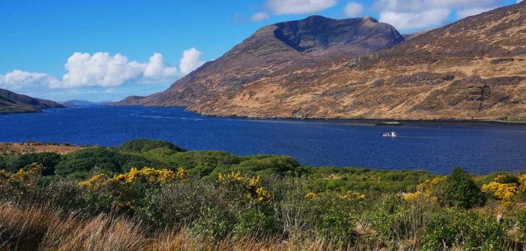
Leenaun – Lough na Fooey – Cong
Following the R336 southeast of Leenaun for a distance of about 7 km, take a left along the L1301. This turn is easy to miss, but there is a brown sign for Lough Na Fooey. After taking this turn, you’ll see a scattering a houses before you find yourself in one of the loneliest roads in Ireland.
There are about 4 km of total wilderness, with the distant Partry mountains adding a beautiful backdrop. Open barren bogland with not a trace of a house, field or any sign of human habitation. Oscar Wilde’s famous description of Connemara comes to mind, ‘Wild, mountainous country, in every way magnificent’.
After a while you’ll be presented with another spectacular panorama as you get your first glimpse of Lough Na Fooey nestled perfectly in the green valley below. This is another landscape highlight and if possible pull in along the road (safely) to get out and take it all in.
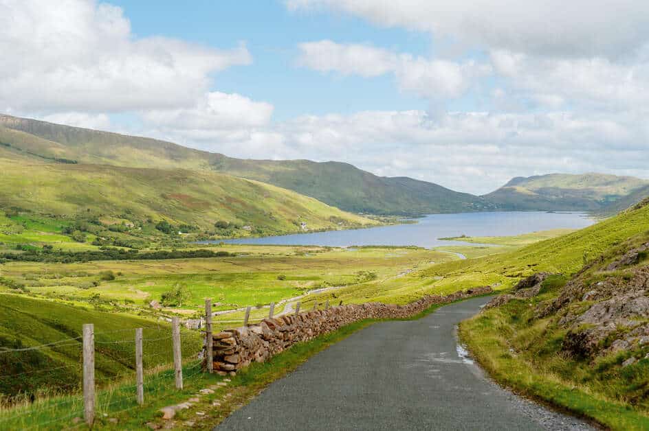
Now, there is a waterfall to your left at the top of the pass, which tour buses pull in to have a look at. Lough Na Fooey waterfall is quite difficult to see from here, but if you happen to have a drone, you’ll get a cracking shot of it from above. The impressive 50 metre falls are properly visible after you descend the mountain road down to the valley.
After navigating the few hairpin turns down into the valley, you’ll notice the remnants of old cottages located along mountain streams and scatterings of heather and gorse here and there. Tiny green fields are enclosed within dry stone walls hundreds of years old.
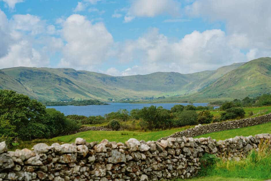
These abandoned farmsteads with the surrounding imposing bare peaks remind me of the hardships farmers must have endured during the famine before having to abandon their livelihoods and leave their lands forever.
I have been asked where I believe ‘authentic Ireland’ is and without hesitation my mind is always drawn to this location. The history of the cottages in idyllic isolation, coupled with the surrounding mountain landscapes is the stereotypical west of Ireland image I guess so many visitors with Irish heritage seek to find.
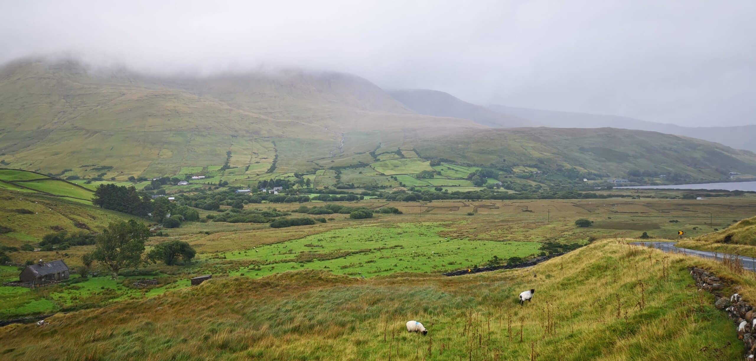
Make your way along the L1301 and you’ll begin to see Lough Na Fooey on your right. You will also probably notice a beautiful golden sandy beach on the western shores. Years ago, there was public access but there was a barrier up when we passed, with just a gate for access. This would imply that the beach is no longer accessible to the general public. What a shame.
From here on drive along the wonderful lake. Just before you come to the end, take a right onto the R300. From here it’s a 25 minute drive through beautiful countryside to our next stop, Cong. Make a stop at the Ferry Point Bridge on the border between Galway and Mayo on the shores of Lough Mask.
Cong
We allowed around 2 hours here as we feel this was enough to get a good overview of the charming, unique village of Cong. I have personally visited more times than I can count and here are some things I recommend doing in Cong if you are there for a few hours:
First of all, park up near the abbey, across the road from the church.
Step Back in Time at Cong Abbey
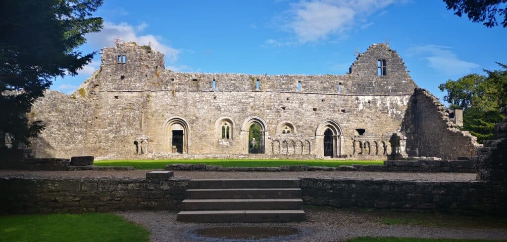
Begin your visit with a wander through Cong Abbey. This atmospheric 12th-century structure is packed with history, from its detailed stone carvings to its marvellous gothic cloisters. Make sure to seek out the Monk’s Fishing House—you’ll notice the small hole in the ground the Monk’s used to drop a line into Cong river. A cracking bit of ingenuity!
Ashford Castle Grounds
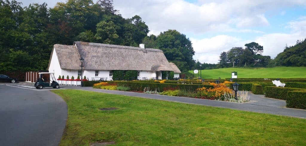
You can enter the grounds of Ashford from the car park opposite the church. To enter the grounds at the other side of the bridge, you have to pay 5 Euros. You can however, pay a visit to the thatched cottage café just opposite the main bridge that leads to the castle. Take in the lovely greenery and manicured gardens while sipping away at your coffee.
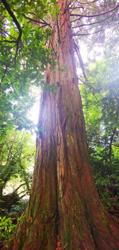
Here is an alternative way to enter the grounds of Ashford. After you pass the Monk’s fishing hut at the abbey and cross the bridge, take the first forest trail to your left. After a hundred metres or so, you’ll come across a marvellous redwood tree of remarkable size and stature. Continue along here and you’ll enter the grounds of Ashford Castle . During wet weather this path can be proper mucky.
The Quiet Man Tour
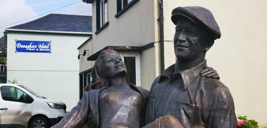
Cong is a bit of a movie star itself, thanks to The Quiet Man film! Stroll through the streets and spot plaques marking the locations of famous scenes. Don’t forget to get your shot with the 2 stars of the film: Maureen O’Hara and John Wayne, whose statue stands next to the abbey. Drop into the Quiet Man museum, but beware it’s open from 10 am to 4 pm.
Riverside Walks and Photo Ops
Take a little time to enjoy the riverside paths. Cong is technically built on an island and it seems you are never too far away from the water. This adds a sense of uniqueness about the village and I am struggling to think of another village in the country similar to Cong in this regard.
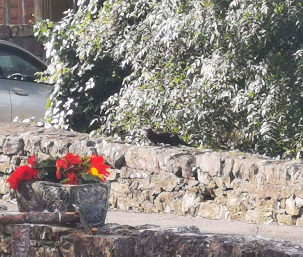
Keep an eye out for a mink or 2 as well! During my last visit, I witnessed one very cheeky little devil roaming around the banks of the river.
Grab a Coffee at Puddleducks Café
If you’re in need of a pick-me-up, Puddleducks Café is a lovely little spot to pause for a coffee or treat. Known for its cosy atmosphere and homemade cakes, it’s a local favourite—and a mighty place to recharge.
Catch a Pint at Pat Cohan’s Pub
For an authentic Irish pub experience, head over to Pat Cohan’s Pub. This iconic spot, featured in The Quiet Man, is warm, welcoming, and offers a fine pint of Guinness or a bite to eat. Danagher’s is also a fine spot for a pint which also serves tasty meals. During the summer evenings, live music can also be heard here.
Admire the Stained Glass at St. Mary of the Rosary Church
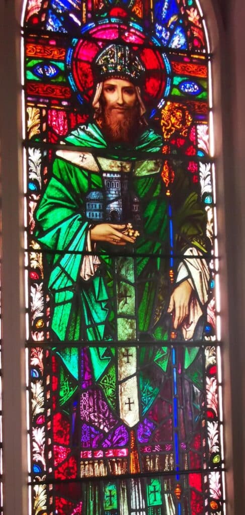
A quick stop at St. Mary of the Rosary Church is a must for anyone who loves beautiful stained glass. The vibrant windows created by the well known Harry Clarke cast colourful light across the interior. It’s a lovely place to pause and take in a bit more of Cong’s rich heritage.
For such a small village Cong is a wonderful place to visit. I have not even mentioned Cong Woods, which is full of beautiful trails. Something to consider the next time you plan to spend longer in the area.
After exploring the village of Cong, complete the loop back to Westport via The Neale and take in the beautiful 13th century Ballintubber Abbey if time permits. A serene way to end your day of adventure.
Cycling the Sheeffry Pass
The pass is excellent for offering a moderate challenge for cycling enthusiasts. Approaching from the Westport side does give a challenging incline with a maximum of 14 % and an average of 6.1 %. This is only over a period of 2 km however. After descending the other side, it’s mainly easy to moderate going along the Glenummera Valley.
There are 2 main loops then back to Westport, the easier of which is over the N59 via Leenaun while the route mentioned on this article over Lough NaFooey offers far more of a challenge, with over 600 metres of elevation gain.
Your Questions about the Sheeffry Pass Answered
How long is the Sheeffry Pass Drive?
The recommended route from Westport via the Sheeffry Pass, through Glenummera Valley, Leenaun, Lough Na Fooey and Cong is a total distance of 116km or 2 hr 20 mins. We do advise however to allocate at least half a day. If taking in Tawnyard Lough walk, lunch and exploring Leenaun & Killary, set aside a full day.
How high is the Sheeffry Pass?
The pass reaches a maximum elevation of 200 metres above sea level.
Is there any car park/viewing point at Sheeffry Pass?
Yes, there is a car park along the L1824 approximately 1 km after the highest point of the pass. There are also picnic benches here, which offer wonderful panoramic views of Tawnyard Lough and the surrounding peaks.
Is the Sheeffry Pass a safe road?
Overall, yes, although it is very narrow in spots. There are a few pull-in spots along the route but it’s best advised to drive slowly. There is a a significant drop-off to the left near the top of the pass so drive with care. Also beware that in the winter months this section is in the shade and there may be some lingering ice on the road.
Where are the Sheeffry Hills?
The Sheeffry Hills are located in County Mayo, in the west of Ireland. They sit between the Mweelrea Mountains and the Partry Mountains, close to the scenic Doo Lough Valley.
What’s the highest peak in the Sheeffry Hills?
The highest peak in the Sheeffry Hills is Barrclashcame. It stands at 772 meters (2,533 feet), making it the tallest point in the range. It’s a peak known for its uniquely flat summit and nearby spectacular high mountain ridges.
Conclusion
Many come to Mayo and often miss such wonderful locations such as the Sheeffry Pass. We highly advise taking a trip to this wonderful part of Ireland, be it for a good ol’ road trip or perhaps partaking in one of the many wonderful hikes on offer. There are countless resources online which provide in-depth hiking guides for this region.
I’ll wrap up by saying that in a country of countless ‘hidden gems’, this region in my view is one of the last remaining undiscovered treasures.
The loop we have mentioned rivals any scenic road in Ireland, with the added benefit of practically no tourists and no overdevelopment from tourism. Isn’t that the authentic Ireland everyone dreams of finding when they visit? Don’t tell anyone I sent you there…
